Upload, publish and secure your geodata easily
When geodata goes public, several steps are needed: Upload the data to the server, import the data into the database, publish the data through some kind of map server, and, if needed, configure the access rights so only the users with the proper priviliies can display the data. LayMan – the Layer Manager – sorts it out for you.
LayMan offers a single entry point into the filesystem, PostGIS database and GeoServer:
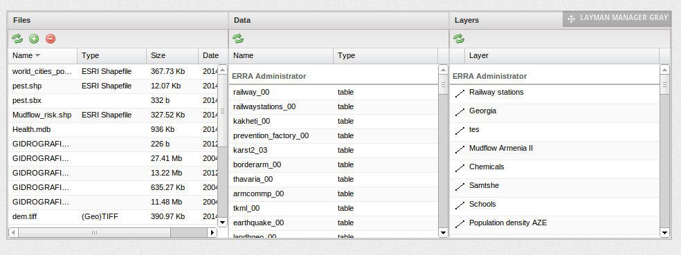
Fig.1: LayMan Web GUI
On the left side, files in the user directory are shown. In the middle, there are tables and views with data that has been already imported into the database. On the right side are the layers that have been already published with GeoServer.
The files belong solely to the user that is logged-in. Data and layers are common for the whole group they have been published to and can be manipulated by any member of the group. The user sees the data and layers of every group he/she is a member of.
Data can be published either from the uploaded files, or from the tables or views already present in the database. Various parameters of a layer can be set, with access control being of a special interest:
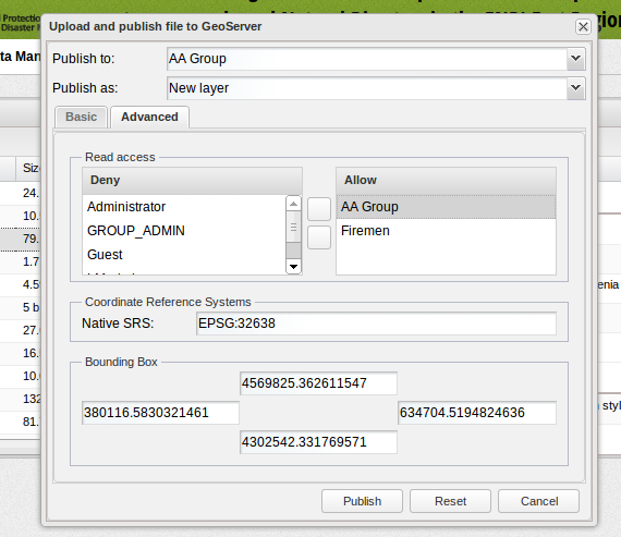
Fig.2: Publishing with Layman
While manipulation with the published layer (write access) is limited to the members of the group that layer is published to, the read access (showing the layer in a map) can be granted to any other group. Users and groups are managed within the Liferay portal which encapsulates the whole system.
Once published, the layers can be styled with OpenGeo Styler:
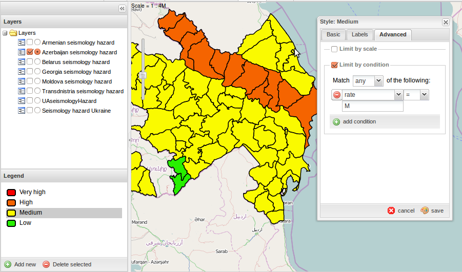
Fig.3: Styler
And of course the layers can be shown on the map:
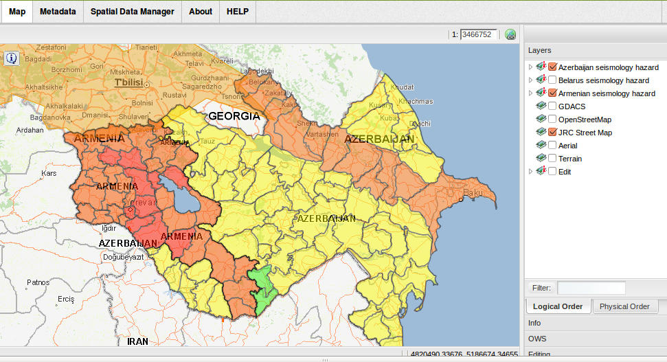
Fig.4: Map
LayMan is an opensorce project licensed with GPL and the source code is available on the Github:
https://github.com/CCSS-CZ/layman


