
This contribution reports the main issues presented and discussed during the Czech joint workshop of three EU projects including SDI4Apps, OpenTransportNet and FOODIE held in Klatovy, Czech Republic on 17th February 2016.
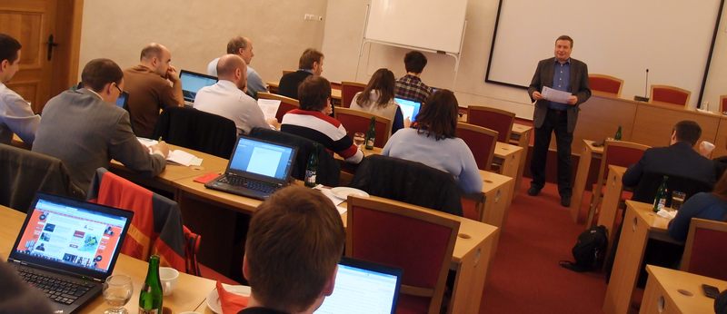
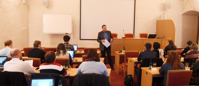
Ivo Šašek from the Czech NGO Úhlava welcomed all the participants and introduced the main objective of the workshop and the current situation of open data in public administration.
IVO ŠAŠEK opening the workshop
Ivo spoke about the problems of opening data, mainly the missing legislative framework which is currently in preparation.
IVO ŠAŠEK opening the workshop
Ota Čerba from the University of West Bohemia in Pilsen opened the series of presentation with information on what open data mean, how should be presented, interpreted and described. Ota stressed that opening data of public administration is not only about making them simply accessible on the Internet. It is important to bear in mind that for successful reuse, data must be published using open standards and the terms and conditions of use must be clearly described.
The core of Ota’s presentation were points of interest (POIs) widely used mainly in navigation devices and for tourism including travelling, cycling, walking, hiking and skiing. The Smart Points of Interest (SPOI) database, licenced under the ODbL licence, count nearly 24mi POIs, which makes it the largest open database of POIs in the world. For your information, the second biggest open POI database is managed by the Open Geospatial Consortium and counts about 10mi POIs.
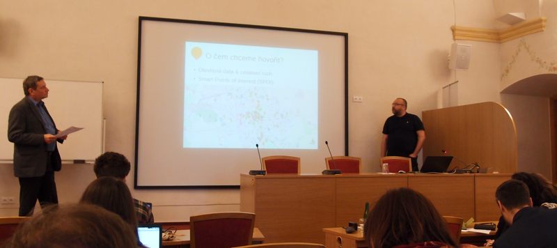
OTAKAR ČERBA presenting Smart Points of Interest
Ota spoke about the variety of data sources used for the SPOI database including OpenStreetMap, dataset from the EU project Citadel on the Move and Natural Earth. Some data sources could not be used for the SPOI database as there are not compatible with the ODbL licence.
Ota concluded his presentation introducing the tourist portal where all POIs are visualised including the possibilities of access to data though Virtuoso SPARQL Query Editor and embedding a map window into any HTML pages. All further information can be accessed at https://sdi4apps.eu/.
Ivo Šašek commented that update of POI data, especially those which are not coming from public administration, is a problem as data become outdated and the reuse is very limited.
Karel Charvát from the Czech Centre for Science and Society spoke about open data in education, an important topic for many of the workshop participants. Karel highlighted the role of INSPIRE focused on access to geographical data in Europe. Such data can be used for educational purposes using the online map portal where students or teachers can create their own thematic maps that can be saved, printed, shared (using a permalink) or embedded into any HTML pages. The thematic maps can be created from numerous data layers available not only on the SDI4Apps portal, but also from other map portals using a standardised web services for data sharing.
KAREL CHARVÁT and open data in education
Karel briefly presented the GeoGame accessible through the Liberec Region website: http://env.kraj-lbc.cz/mapserv/geohra/?lang=eng.
Pavel Hájek from the University of West Bohemia in Pilsen introduced the main features of the Open Transport Map. It is a map derived from the OpenStreetMap data transformed into an INSPIRE based data model and its main advantage is the map is routable, i.e. can be used for navigation. Another advantage is that data are available through various means including the INSPIRE services.
Within the frame of the OpenTransportNet project an application enabling calculation of traffic volumes in the entire Europe was designed and implemented. Traffic volumes show the density of traffic in the transport network. Traffic volumes are a key part of Open Transport Map and its data model.
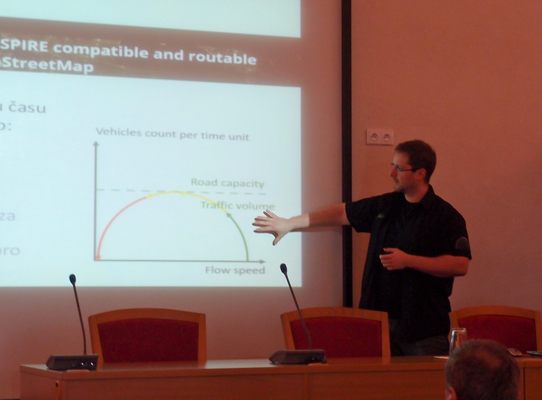
PAVEL HÁJEK explaining the details of traffic volumes
Pavel spoke about the details of traffic volumes, how they are calculated and how they can be visualised and used in practice. Pavel also mentioned the problem of data update between the two databases (OpenStreetMap and Open Transport Map) and the software components used for creating Open Transport Map.
A participant from the city of Český Krumlov asked whether data could be used for traffic analysis in Český Krumlov. Pavel said that the transport network could be used. Other data or parameters needed for traffic volumes would need to be analysed. The discussion continued during the lunch.
Another participants asked whether data from mobile network providers are used. This was commented that currently not but this idea will be shared with other collegues.
Tomáš Řezník from the Masaryk University and the living lab WirelessInfo presented some of the results from the FOODIE project. The main focus of this project is on farming and how open grographical data can help farmers to monitor and plan their yields.
This includes use of fertilisers in the right amount and at the right time on the right place, subsidies and other funds for farmers and management of machinery and increasing its efficiency. Optimisation was the key word of Tomáš’s message to the audience.
Tomáš then presented the common data model for geographic data used for farming and their attributes. Farming portal based on this data model is available at http://foodie-data.wirelessinfo.cz where data can be visualized, downloaded and reused. The background maps include OpenStreetMap and ortophotomaps of the Czech Republic including data from Land Parcel Identification System. The main application data include data sensed from tractors used at farms. Special units mounted on every tractor send data to the central portal and then farmer can make further analyses before he/she takes a decision. In this way, the optimisation of machinery efficiency, reduction of costs and increase of yields are secured.
Tomáš also spoke about the pros and cons of using imageries for farming purposes, especially in the context of currently released images from Sentinel 2 (Copernicus programme).
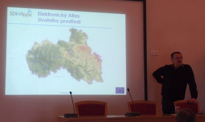
Dmitrij Kožuch from Help Service Remote Sensing presented the last presentation of the workshop focused on land use. Dmitrij described the evolution of the idea and initiative of Open Land Use Map, which dates back to 2012 (Plan4business project).
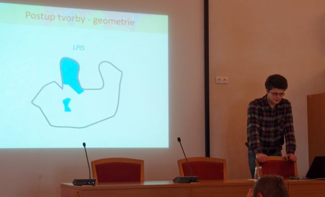
DMITRIJ KOŽUCH describing the methodology of merging land use data of different level of detail
Dmitrij described the main features of the Open Land Use Map, its source data, data model, used classification (HILUCS), methodology for data harmonisation and data merging, data licencing and how data can be accessed and downloaded.


