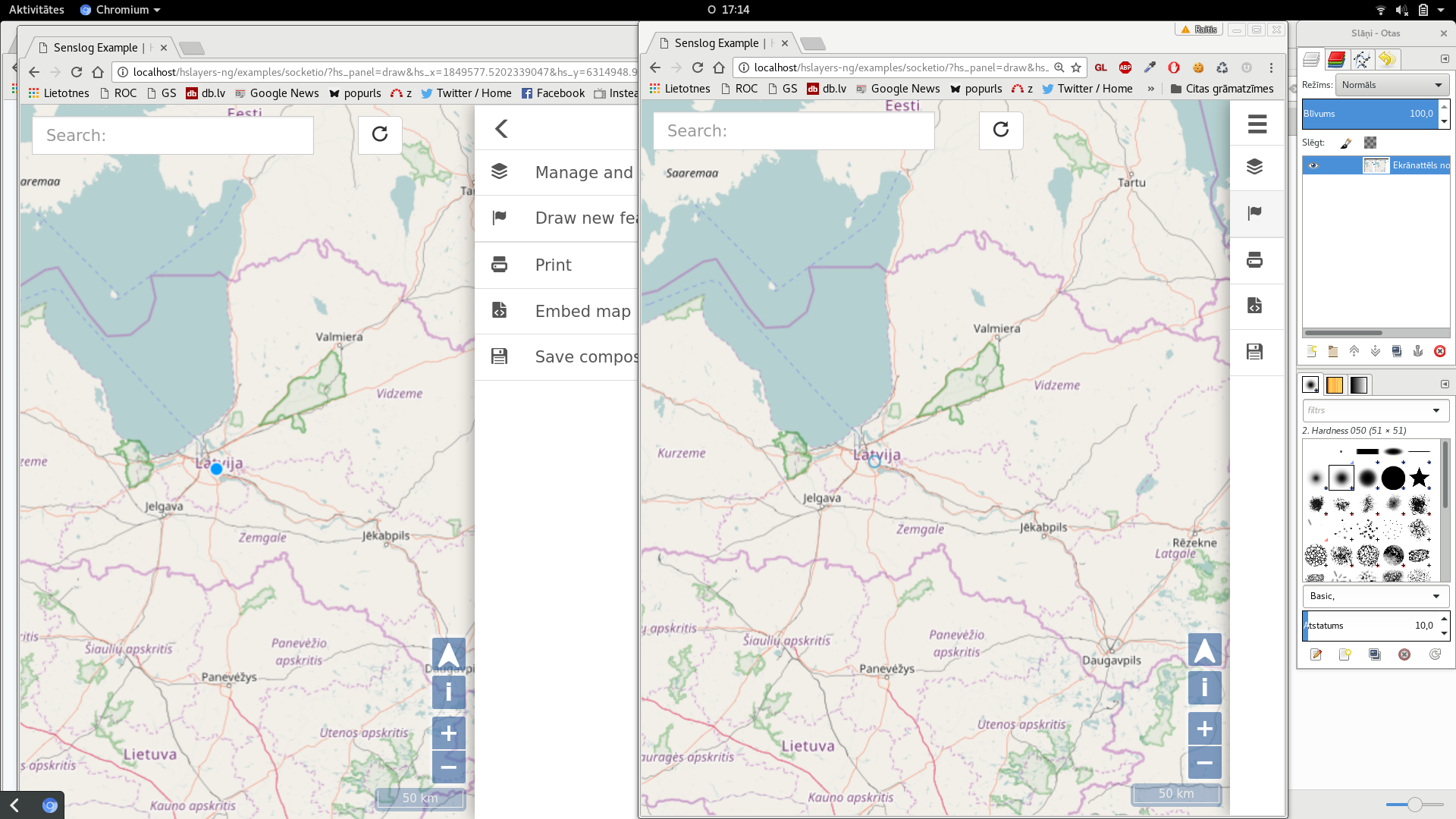
In blog “Google Docs for Maps”: collaborative whiteboard for drawing on maps Runar Bergheim described concept of collaborative whiteboard for drawing on maps. He suggested it as whiteboard, that would have to offer a full-screen interchangeable base map that could be from Google, OSM or any given WMS server and which will offer for p collaborators the possibility to draw points, lines or polygons on the map — or to add textual annotation to it. All map collaborators (subject to the ‘map owners’ authorization) will be able edit redlining made by others and any changes will be saved into a log trail for provenance tracing.
During INSPIRE Hackathon VGI and Citizens Observatories as part of Challenge 2 Raitis Berzins made first proof of concept for such solution.
The team will continue on next development of this concept and we believe, that this solution will be soon part of HSLayers NG solution


