Another pilot application related to Smart Points of Interest is out. This one is focused on data analysis and supports dot symbol map and heatmap with parameter controls. The application allows attribute-based as well as spatially-based browsing data by brushing in histogram of categories and by polygon selection of the area of interest. Visualization is based on WebGLayer library, an open-source JavaScript library which offers immediate data filtering and response rendering due to the utilization of WebGL even with large datasets (up to hundreds of thousands of features).
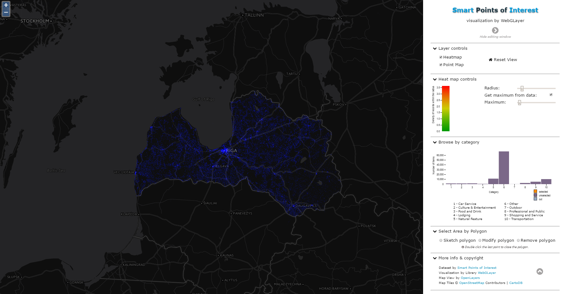
Fig. 1 – Main screen of the web app
This pilot application shows over 100 000 SPOI in Latvia, but it could be utilized for other countries or regions in the future.

Fig. 2 – Preview of heatmap for selected categories
And of course, you can see this app in action and freely test the SPOI Visualization by WebGLayer on your own.
Jáchym Kellar (UWB)


