In my previous blog INSPIRE4Youth – use our maps https://sdi4apps.eu/2016/08/inspire4youth-use-our-maps/, I introduce our concept of Map compositing. In few next contribution I would like explain some technical details and help to other use our thematic maps in other platforms also.
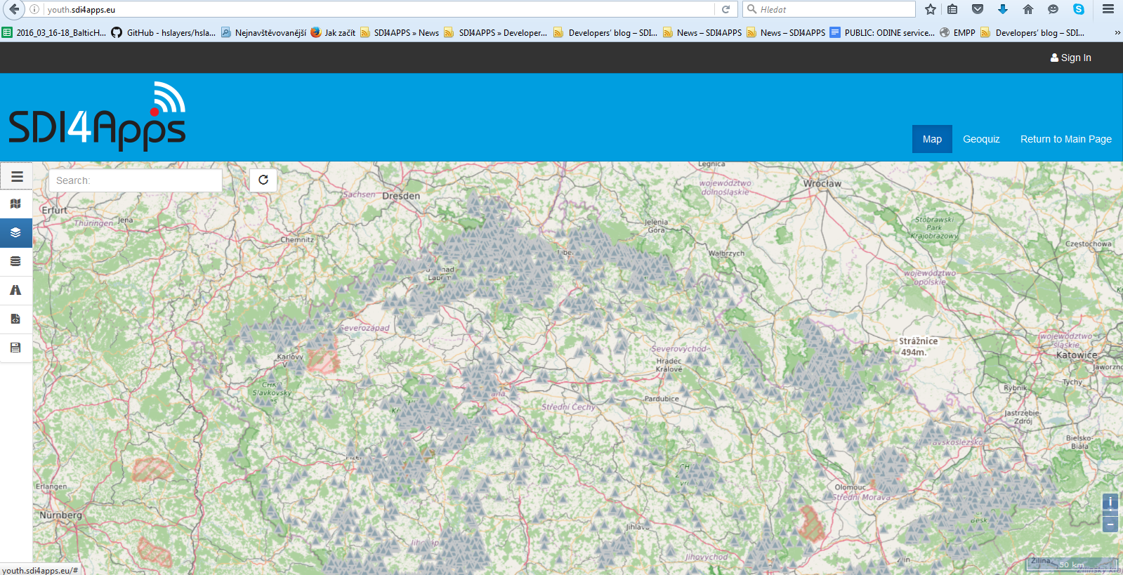
The core component is Map Composer The application is providing the necessary functionality for displaying geographic data on a map and then creating a map composition (a thematic map) that can contain several data layers. After the map composition is created, i.e. detailed definition and metadata of each layer of the composition along with the composition itself, it can be saved as a JSON-styled text document. Then, this document can be read and visualized by an HSLayers NG-based web application. So, the main purpose of the application is to share visualized geographic data between users.
Map Composer is currently it is able to display map layers that come from the following services/sources: WMS, WFS, WCS, KML, GeoRSS, GML, GeoJSON and SOS. A user can then combine the layers he wishes into a composition that will be saved as an .hsl file (JSON styled text document that contains all necessary definitions and metadata of each layer and composition itself). It is further intended that the user will publish the composition he has created and share it with other users. It can be done in several ways: if user sets composition to “public” it can be viewed by other users of the platform in the Thematic Atlas web-application or the user can use Embed Map utility (feature of Thematic Atlas) to generate link to insert the map window with composition into any web-page (as data object, iframe etc.).
For storing and sharing Map Composition we started developed our own extension for storing map composition supporting combination of data and services in different format (WMS, WFS, WCS, KML, GeoRSS, GML, GeoJSON and SOS.). i.e. detailed definition and metadata of each layer of the composition along with the composition itself, it can be saved as a JSON-styled text document. This JSON style document, is now used by Map Composer for creating of map composition. For detail specification look on https://github.com/hslayers/hslayers-ng/wiki/Composition-schema. We would like share this scheme with you and we are waiting for your comments. Some more details you can find on https://www.linkedin.com/pulse/json-accessing-composition-map-composer-karel-charvat?trk=pulse_spock-articles.
Join our community of Facebook and help us build World Wide Geospatial Database for Educational purposes.


