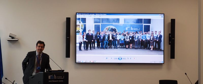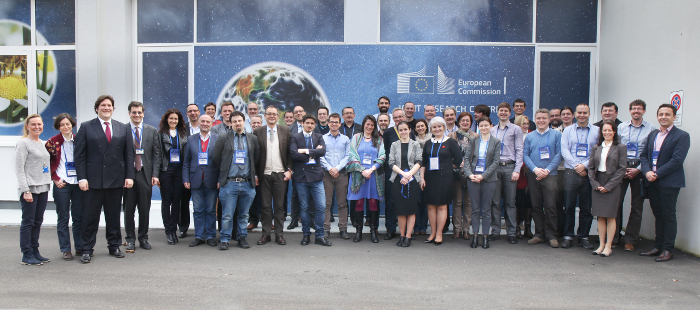
The Danube Region and the EU Strategy for the Danube Region (EUSDR) are the main topic of the Data Management & Value-added Applications workshops held now (22-23 Feb 2016) at the Joint Research Centre in Ispra (Italy).
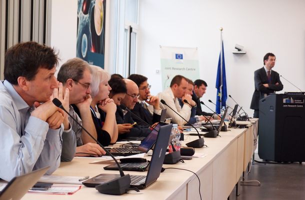
The workshop begun with demonstrating the added value of harmonising and reusing open geographic data. The first session was dedicated to results of the SDI4Apps, OpenTransportNet and FOODIE projects presented by the Czech team.
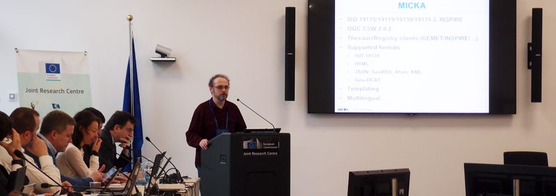
Štěpán Kafka presented the Geo-DCAT application profile and its implementation in the OpenTransportNet data hub.
ŠTĚPÁN KAFKA
Tomáš Řezník presented how FOODIE helps farmers to innovate their farm management using open data.
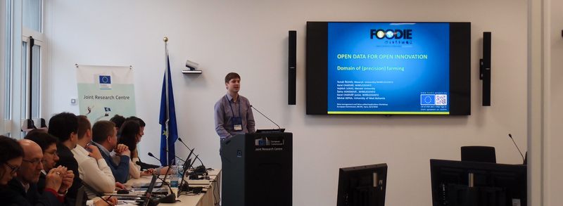
TOMÁŠ ŘEZNÍK
Tomáš Mildorf introduced the Open Land Use Map initiative, its current status and future developments. Otakar Čerba presented the Smart Points of Interest dataset and Jan Ježek the OpenTransport Map and advanced visualisation techniques.
The workshop now continues with presentations of pilots in the Danube Region such as the cross-border harmonisation between Moldova and Ukraine.
The workshop is conducted under the Danube Reference Data and Services Infrastructure (DRDSI) initiative of the JRC in Ispra.