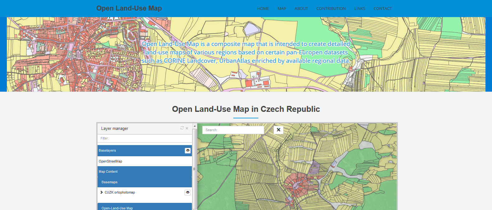
What is Open Land Use? You can learn more here https://sdi4apps.eu/project-information/pilot-applications/pilot-4-open-land-use-map-through-vgi/ and here https://www.linkedin.com/pulse/open-land-use-karel-charvat?trk=pulse_spock-articles. Till now main focus was on preparing data for different countries and extend the concept of Open Land Use. This will continue to cover all Europe and could be more.
However now we need shift and we need start to improve and actualise data of Open Land Use. One from expected methods will be mobile VGI collecting information to improve current OLU. But such VGI could help us to collect other important information, like information about brownfields etc. We would like start to use for this SensLog and its standardised API. https://www.linkedin.com/pulse/senslog-open-api-way-build-community-sensor-sharing-karel-charvat?trk=pulse_spock-articles , https://sdi4apps.eu/2016/04/opensensorsnetwork-pilot-senslog-api-version-1-0-is-open/.
You can see proof of concept on https://www.linkedin.com/pulse/applications-senslog-ii-vgi-monitoring-karel-charvat
So I would like also all interested to join MedHack http://www.medhackathon.eu/ .


