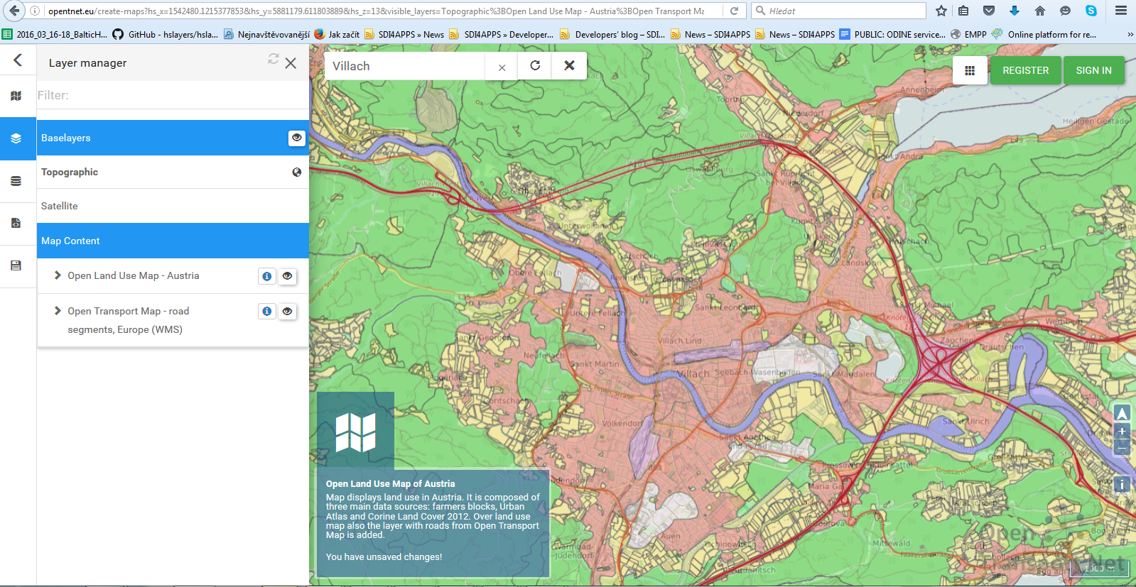
The Open Land Use Map (OLU) pilot creates an open available pan-European map of land use that will be available for users in some popular formats for geodata sharing (OGC services: WMS/WFS, Shapefile or KML). We are trying step by step cover all Europe on the base of best available data. Last available OLU was built for Austria. See https://goo.gl/yALru0.
We would like invite you join our team on INSPIRE HACKATHON bring available data from your country and cooperate with us on building OLU.


