Ladies and Gentlemen of the Spatial Internet,
Today we propose to you the idea that “maps” are interesting not only as visualizations of volunteered geographical information (VGI) data capturing through semi-voluntary projects — but as shareable, fascinating and valuable VGI objects in themselves.
VGI has until now been very much about trying to structured data from Internet users into harmonized (or semi-harmonized) data sets such as the hugely successful Open Street Map and the like. Users contribute points, lines and polygons as well as their meaning. Similarly, services like Instagram capture image data and exposes it through APIs for use in a multitude of serendipitous, and not so serendipitous ways.
So why do we believe that the “map” is an object that people would like to share — and why do we believe that it proves added value to peoples lives?
- All of us have tried to explain a location to someone over the phone
- All of us have asked for advise from well-meaning but “spatially challenged” staff in hotel receptions
- All of us have tried to discuss what we believe to be the same location with a colleague over the phone
- Some of us have tried to explain a colleague how to add a WMS theme to an interactive map client
All of us, at one stage or another, without exception have failed at these tasks. Some times miserably.
This is where the “map” comes to play. Once, a map used to be an expensive rolled up scroll of calves skin that was drawn by a skilled artist from the manuscripts of daring sea-farers in the great age of discovery. Later, maps were produced by less picturesque but more efficient means – until the advent of the GIS age when a lot of people who previously couldn’t suddenly could make professional LOOKING maps.
Nowadays, a map is not a “flat image” but a complex layered object that references data sources ‘scattered’ across a decentralized, democratic and at times volatile Internet.
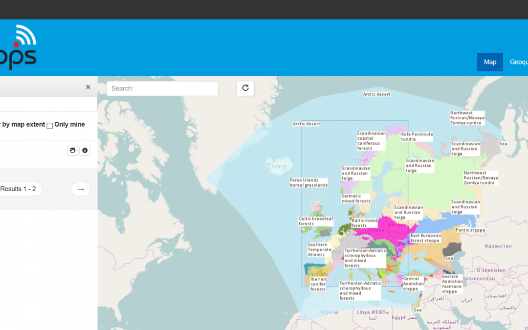
A base map is loaded as tiles from a server offering cartographic rules for visualization of Open Street Map data, On top of the base map we would like to see the European eco-regions from the European Environment Agency (EAA) – these are available as WMS service on another server. Stacked on top of each other, possibly with some notes and ‘scribble’ contributed by the maps author, these sources constitute a “map” that is useful in a specific context for a specific use.
Our needs are many — and very different — but so are our skill sets; thus offering everyone sophisticated GIS tools capable of making their own maps is not a likely path to ‘happy forever after’. It is often simpler, better and more effective to simply give them a “map”.
There currently exists hundreds of services offering spatial information through real-time interactive protocols such as WMS and WFS etc. Soon, if member states and signatories to INSPIRE do as they are legally obliged, this number will be thousands — ten thousands.
The fact that a map is a composite object referring to a lot of live data sources around the net, require the existence of a “Map Composition” standard that describes the elements that constitute a map and how they should be combined to fit together neatly.
An early effort by the OGC was the Web Map Context specification that has not evolved since 2005. This little bit ‘heavyweight’ XML-based standard is limited in scope and has not evolved with the developments in standards and technology in the 11 years that have passed since its creation.
Recently the three European Community funded projects SDI4Apps, Foodie and OTN have started the work of defining a simple, lightweight specification for Map Compositions using HTML5- and bandwidth friendly JavaScript Object Notation (JSON) as a carrier of information.
The current specification of the JSON Map Composition is available on the GitHub Wiki of HSLayers NG.
We believe Map Compositions have a wide range of private and professional use cases and would like to use the INSPIRE Hack the in Barcelona this autumn to bring the maturity of our ideas and technologies a few steps forward.
To ensure that Map Compositions play a positive role in the future of spatial data, we we need to establish through examples and trials how they:
- provide societal and/or economic benefit
- serve existing, current or foreseeable needs
- fit into existing processes
- replaces existing processes
Over the coming days and weeks, we will publish a number of ideas and issues that needs to be resolved with respect to Map Compositions as potential tasks to be picked up by participants at the INSPIRE Hack.
Welcome to Barcelona, welcome to join forces with us in our efforts to improve mobility and way-finding…


