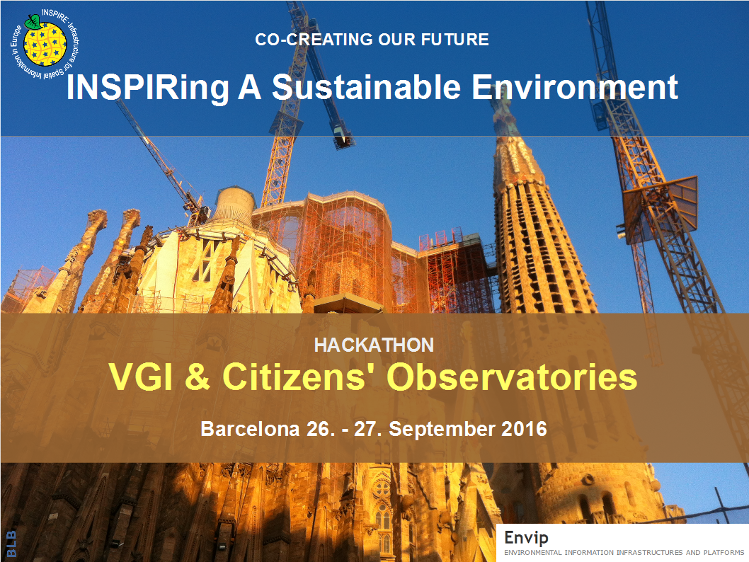
 Program of INPSIRE Hackathon was divided into three parts. The first introduction part was started by Miguel Rubio Iglesias and then were presented project, participating on Hackathon. From Open Geospatial Data groups were presented projects SDI4Apps, Open Transport Net and FOODIE.
Second part was focused on building of teams around single challenges. There are three basic challenges:
- Challenge 1 How might future environmental management and public participation be improved by re-using already available data and tools?
- Challenge 2 How can the 4 new Citizens’ observatories as well as next generations of observatories re-use and tailor the tools developed in the 5 first Citizens’ Observatories (in particular the soon ending CITI-SENSE, WeSenseIt and CobWeb projects), and related projects like SDI4Apps, FOODIE and Open Transport Net ?
- Challenge 3 Based on use cases from the 4 new Citizens’ Observatories, how can data from a variety of data sources be made interoperable and integrated as information answering concrete environmental issues, such as maintaining biodiversity, healht, improve waste re-use, prevent flooding, reduce noise, ensure dark nights, etc ?
The third part of HACKATHON was focused on defang of concreate tasks, which will be tested during second day of conference.
For Challenge 2 was decided, that focus will be, how is possible to share maps (Map composition) among different systems and projects. It was decided, that current approach coming from OTN, SDI$APPS and FOODIE will be evaluated from point of view of Citizens observatory needs and will be evaluated, if this approach could be implemented into other platforms.
For Challenge 2 was decided, that experimentation will be focused on testing of “Interoperability” among tools developed in different Citizens observatories projects and SensLog.


