The SDI4Apps project successfully passed the second technical review in Luxembourg last week and entered the third and the last stage of the project implementation.
This a quick overview of the progress achieved last year.
The SDI4Apps pillars include technology and data. These are closely interrelated, as technology is useless without appropriate data and data themselves cannot be analysed and visualised without necessary tools and technologies.
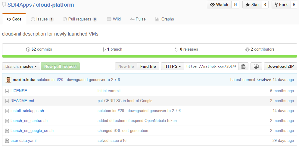
From the technology point of view, SDI4Apps adapted and integrated several existing software components and JavaScript libraries such as Liferay, GeoServer, Virtuoso, Micka, HSLayers NG and PostGIS that serve as a basis of the SDI4Apps platform. An installation script that builds the SDI4Apps platform from scratch can be deployed for newly launched virtual machines at a cloud environment. The installation script is maintained at GitHub.
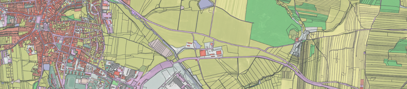
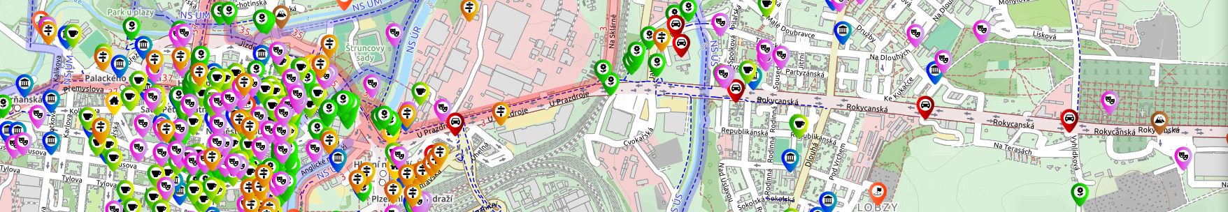
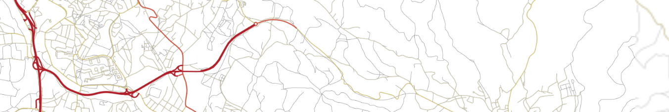
From the data point of view, SDI4Apps put significant resources to data integration which resulted in three core datasets used across the pilot applications and shared with other EU projects including OpenTransportNet, FOODIE and ECIM. These datasets include Open Land Use Map, Smart Points of Interest and OpenTransportMap which are displayed below in the same order.
The SDI4Apps platform including the integrated datasets are being tested through a series of pilot applications:
- PILOT 1: Easy Data Access – mobile apps for collecting, maintaining and accessing data in national parks, in particular European Tourism Indicators System (ETIS) and protected heritage sites.
- PILOT 2: Open Smart Tourist Data – integrating data relevant for tourism and visualising them using a web app.
- PILOT 3: Open Sensor Network – integration and management of sensor data for farming and water management.
- PILOT 4: Open Land Use Map through VGI – land use map created from open data and updated by citizens.
- PILOT 5: Open INSPIRE4Youth – using GI for education and creating thematic maps by students.
- PILOT 6: Ecosystem Services Evaluation – visualisation of ecosystem services values for a location of interest on national level.
The project validation results indicate that there is much higher interest in integrated and harmonised data including end user applications than in technology, the SDI4Apps platform run as a virtual machine. SDI4Apps focuses therefore mainly on collecting, harmonising and publishing open data. In order to increase the reuse of data, several applications provide different data insights. These are realised through the six pilots mentioned above which were made publicly available.
SDI4Apps in figures:
- SDI4Apps deployed more than 500 datasets, 23 mil. points of interest and 3.5 GB of RDF triplestores.
- SDI4Apps presented its activities at 80 conferences with more than 18,000 people reached and published more than 30 publications and press releases and more than 50 blog posts on the developer’s blog.
- SDI4Apps organised 3 hackathons in Dresden, Bratislava and Riga with more than 150 registered people and 4 public workshops with more than 250 participants.
- SDI4Apps built a community on LinkedIn with more than 850 members and set up a Facebook page counting more than 320 likes.
The intensive dissemination and communication activities with key stakeholders resulted in increasing the exploitation opportunities for open GI and development of innovative applications. The SDI4Apps results are exploited by several external communities. The following list gives and examples of different levels of cooperation including selected examples:
- Researchers and scientists – exploitation of the Open Land Use Map for computing urban sprawl indexes by the Olomouc University and Smart Points of Interest dataset by big data specialists from Barcelona.
- Private companies – using the Smart Points of Interest dataset for car navigation.
- Public authorities – increasing demand for the Open Land Use Map by Latvian regional authorities, especially for monitoring, updating and evaluating brownfields. There is a strong cooperation with the Joint Research Centre in Ispra (JRC Ispra) on data publication as RDF and definition of the GeoDCAT-AP standard for metadata.
- EU initiatives – SDI4Apps supports the Danube Strategy, in particular the Danube Reference Data and Services Infrastructure (DRDSI) led by the JRC Ispra. There is a strong interest in the project results by the Copernicus programme of which several key datasets such as Urban Atlas and Corine Land Cover are used by SDI4Apps. In addition to this, SDI4Apps contributes to the European Innovation Partnership on Smart Cities and Communities and the global initiative GEOSS.
EU projects – based on a signed Memorandum of Understanding, a close cooperation on open dataset maintenance is ongoing with EU projects including OpenTransportNet, FOODIE, ECIM.


